Aerial Photography

Professional Aerial Photography
& Drone Video Services

Stunning high-resolution aerial photography and 4K drone video for property marketing, construction, commercial campaigns, and events across the South Downs and UK. Delivered within 48 hours.

What we do

Aerial Photography That Captures Your Project From Every Angle

At South Downs Drone Survey Ltd, we provide professional aerial photography and 4K drone video services for a wide range of commercial clients across the South Downs National Park and the wider United Kingdom.

Using enterprise DJI equipment fitted with 45-megapixel cameras and professional gimbals, we capture stunning high-resolution stills and smooth, cinematic aerial footage that gives your project, property, or brand the visual impact it deserves.

Every shoot is planned around the best light conditions, weather windows, and airspace restrictions to ensure we deliver imagery that genuinely stands out. All files are delivered in your chosen format within 48 hours of the shoot.
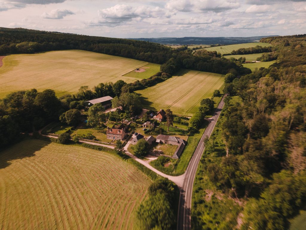
Aerial surveying drone capturing topographic data over open land

What’s Included With Every Aerial Photography Shoot

What's Included With Every Aerial Photography Shoot

Every aerial photography commission includes full mission planning, CAA airspace management, and professional post-processing — so you receive polished, ready-to-use imagery without any additional editing work.

  • High-resolution RAW and JPEG stills (45MP)

  • 4K edited aerial video footage (MP4)

  • Colour-corrected and exposure-matched final images

  • Delivery via secure download link within 48 hours

  • Multiple angles and compositions per location

  • Licensed for commercial use

  • Full CAA compliance documentation provided

Who we work with

Aerial Photography For Every Sector

Property & Real Estate​

Showcase developments, land, and commercial property from the air. Aerial photography consistently increases enquiry rates for property listings.​

Construction & Development​

Document site progress, capture milestone imagery, and provide stakeholders with a clear aerial overview at every stage of the build.​

Events & Leisure​

Cover outdoor events, festivals, venues, and leisure facilities from above — creating compelling content for marketing, media, and social channels.​

Commercial & Corporate​

Aerial photography and video for brand campaigns, promotional content, annual reports, and corporate communications.​

Let's Take Your Project to New Heights

Professional drone surveying and aerial imaging. CAA-licensed, fully insured, fast turnaround.

Aerial Photography — Frequently Asked Questions

Our aerial photography packages start from £299 for a half-day shoot. Pricing depends on location, duration, and deliverables required. Contact us for a free, no-obligation quote tailored to your project.

All edited stills and video footage are delivered via secure download link within 48 hours of the shoot date as standard.

Yes. South Downs Drone Survey Ltd holds full CAA Operational Authorisation and carries £5 million public liability insurance and £1 million professional indemnity insurance on every flight.

We manage all airspace permissions, NOTAM applications, and local authority permissions as part of every commission. We have experience operating in challenging and restricted environments.