At South Downs Drone Survey Ltd, we combine cutting-edge drone technology with industry expertise to deliver accurate, efficient, and reliable aerial surveying and imaging solutions for businesses across the United Kingdom.
South Downs Drone Survey Ltd was founded with one clear mission to provide professional drone surveying and aerial imaging services that deliver dependable results for every project.
Our experienced team works with construction companies, developers, engineers, local authorities, agricultural businesses, and property professionals to capture high-quality aerial data that supports smarter planning and faster decision-making. Based in Sussex, we bring an unmatched understanding of the local landscape, airspace, and regulatory environment, giving our clients a more efficient and compliant service from day one.

Accuracy
We capture precise aerial data that clients can rely on for planning, inspections, mapping, and reporting. RTK GPS accuracy to ±20mm.

Integrity
Transparent pricing, honest advice, and clear deliverables. We tell you exactly what you'll receive before we start — and deliver on that promise.

Collaboration
We work as an extension of your team — understanding your goals, adapting to your timelines, and keeping communication clear throughout.

Innovation
We invest in the latest drone technology so our clients always benefit from the most advanced methods available.
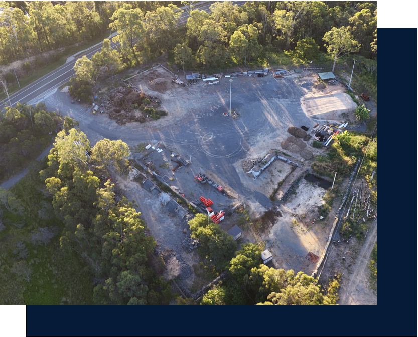
Every project begins with a consultation. We take time to understand your site, your software, and what you need the data to do — before a single flight is planned. Our pilots handle airspace authorisation, site risk assessments and ground control point placement, so you receive survey-grade outputs that are accurate, compliant and ready to use.
Our experienced team works with construction companies, developers, engineers, local authorities, agricultural businesses, and property professionals to capture high-quality aerial data that supports smarter planning and faster decision-making. Based in Sussex, we bring an unmatched understanding of the local landscape, airspace, and regulatory environment, giving our clients a more efficient and compliant service from day one.
We operate the DJI Matrice 4E RTK with the Zenmuse P1 45MP camera — equipment that delivers centimetre-level accuracy without compromise. Every pilot holds CAA operational authorisation and £5 million public liability insurance. Our post-processing workflows are built for speed without cutting corners, which is why most deliverables land within 48–72 hours of the survey flight.
Advanced Drone Technology
DJI Matrice 4E RTK, 45MP Zenmuse P1, FLIR thermal imaging

Fast Turnaround
48–72 hour delivery on most survey outputs. Same-day for roof inspections
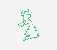
UK-Wide Coverage
Based in the Sussex, operating across England, Scotland, and Wales

Dedicated Support
Personal service from initial enquiry through to final data delivery