The Short Answer
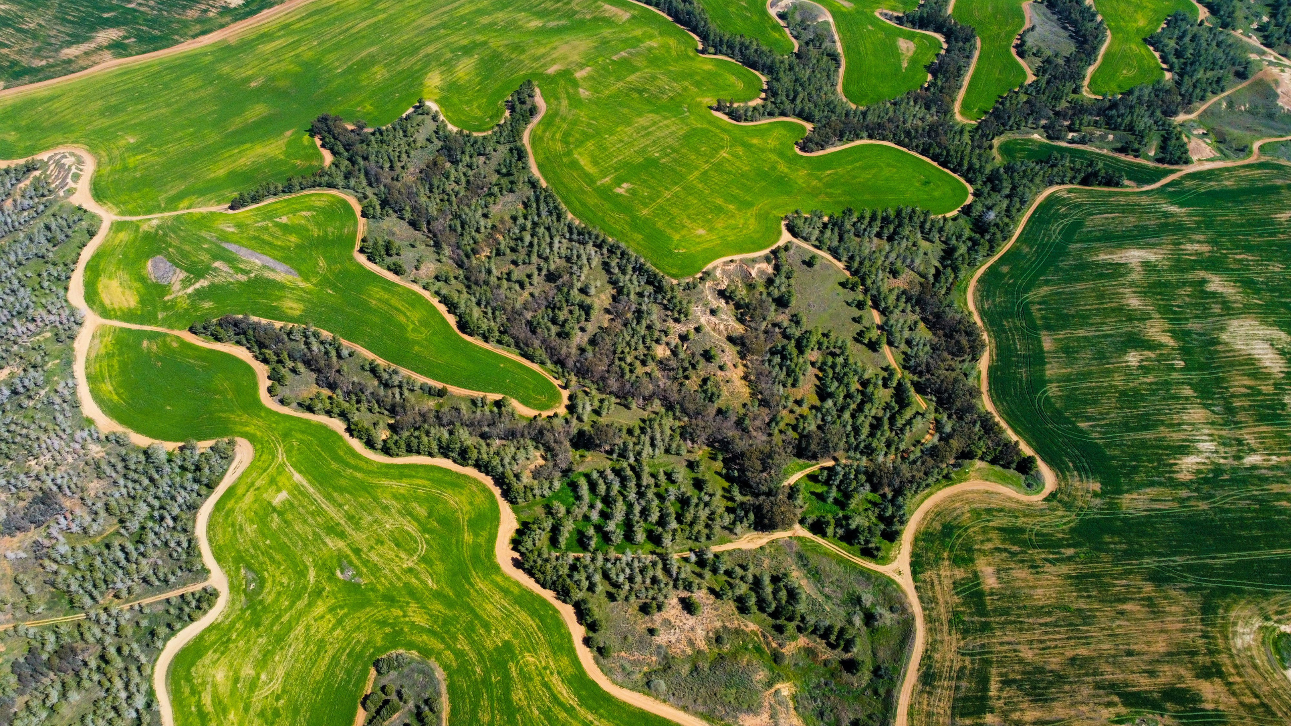
An orthomosaic is a single, large aerial image of a site — stitched together from hundreds of individual drone photographs and corrected so that it is geometrically accurate and to scale.
Think of it as a highly detailed aerial map you can zoom into, measure from, and overlay on other geographic data. Unlike a simple photograph, every point in an orthomosaic is in its correct geographic position.
Why Not Just Use One Big Photo?
A standard photograph taken from a drone has a problem: it’s taken from a single position, through a single lens, which means objects at the edges of the frame are slightly distorted, and anything that isn’t flat on the ground (a building, a tree, a hill) appears to lean away from the centre of the image.
This is called perspective distortion, and it means you can’t accurately measure distances or areas from a regular aerial photograph. If you tried to use one as a map, your measurements would be wrong.
What Makes an Orthomosaic Different
An orthomosaic solves this in two stages.
First, the drone captures hundreds or thousands of overlapping images across the entire site — typically with 75–85% overlap between each image. Every image is geotagged with its precise position using RTK GPS.
Second, photogrammetry software analyses all those overlapping images, identifies common features between them, and builds a 3D point cloud of the site. From that 3D model, it then generates a corrected top-down view — removing all perspective distortion and stitching the images into one seamless map.
The result is a single image where every pixel corresponds to a known real-world location, and where you can measure distances, areas, and elevations accurately.
At South Downs Drone Survey Ltd, our orthomosaics achieve ground sample distances as fine as 1cm/pixel — meaning each pixel represents 1cm on the ground.
What Can You Do With an Orthomosaic?
Measure distances and areas — planning teams use orthomosaics to calculate site areas, setback distances, and boundary positions directly on screen.
Overlay with existing maps — because an orthomosaic is georeferenced, it can be placed directly onto OS maps, CAD drawings, or GIS layers with accuracy.
Track changes over time — comparing orthomosaics from different dates shows site progress, vegetation change, erosion, or construction development.
Support planning applications — local authorities frequently accept georeferenced orthomosaics as supporting evidence for site appraisals and EIAs.
Inform engineering design — orthomosaics combined with elevation data give engineers a complete, accurate picture of existing site conditions.
What Format Does an Orthomosaic Come In?
The standard format is GeoTIFF — a TIFF image file with embedded geographic coordinate data. GeoTIFF files can be opened in GIS software (such as QGIS or ArcGIS), CAD platforms, and most modern planning and survey tools.
We can also provide orthomosaics as high-resolution PDF or JPEG exports for clients who need to view and share them without specialist software.
What’s the Difference Between an Orthomosaic and a DSM?
An orthomosaic is a 2D image — a bird’s-eye view of the site. A DSM (Digital Surface Model) is a 3D dataset — a grid of elevation values showing the height of every point on the surface. Both are produced from the same drone flight and photogrammetry process.
Most drone survey deliverable packages include both: the orthomosaic for visual reference and measurement, and the DSM or DTM for elevation and modelling work.
Need an Orthomosaic for Your Project?
South Downs Drone Survey Ltd produces high-accuracy orthomosaics for construction, agriculture, planning, and land management projects across Sussex and the UK. Get in touch to discuss your site and requirements.