Photogrammetry

Professional Drone Photogrammetry & 3D Mapping Services

Accurate 3D models, dense point clouds, and high-resolution orthomosaic maps generated from systematic aerial drone imagery. Precise, scalable data for planning, engineering, and construction projects across the UK.

What is Photogrammetry?

Turning Aerial Images Into Measurable, Accurate 3D Data

Photogrammetry is the science of extracting precise measurements and 3D information from overlapping aerial photographs captured by our drone fleet. By analysing hundreds or thousands of images taken from carefully planned positions, our software reconstructs an exact digital replica of your site.

The result is a rich dataset that goes far beyond what a standard aerial photograph can offer: georeferenced orthomosaic maps you can measure directly, dense 3D point clouds for volumetric calculations, and digital terrain models accurate enough for engineering design.

South Downs Drone Survey Ltd uses industry-leading photogrammetry processing software alongside RTK GPS drone positioning to deliver outputs accurate to ±20mm — compatible with AutoCAD, Revit, ArcGIS, Civil 3D, and most major engineering and GIS platforms.
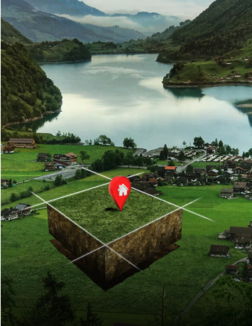
Drone roof inspection over a residential property in Sussex

What You Recieve

Photogrammetry Outputs Your Team Can Use Immediately

  • Orthomosaic Maps

    Geometrically corrected, fully georeferenced aerial maps you can measure, annotate, and use in GIS software. Supplied as GeoTIFF

  • Digital Surface Models (DSM)

    A 3D model of the surface including all above-ground features — buildings, vegetation, stockpiles, and structures.:

  • Digital Terrain Models (DTM)

    A bare-earth elevation model with vegetation and structures removed. Essential for drainage, flood risk, and earthworks design

  • Dense Point Clouds

    Millions of georeferenced 3D data points representing the full survey area. Supplied in LAS/LAZ format for use in Leica Cyclone, CloudCompare, or AutoCAD.:

  • 3D Textured Mesh Models

    Photorealistic 3D models for visualisation, presentations, and BIM workflows. Supplied in OBJ or FBX format.:

  • Volumetric Reports

    Accurate cut-and-fill calculations and stockpile volume reports are generated directly from the point cloud data.

  • CAD Files

    DWG/DXF contour plans and feature survey data compatible with AutoCAD and Civil 3D

Applications

Where Photogrammetry Adds the Most Value

Planning Applications

Submit accurate topographic surveys and 3D site models with planning applications to support outline and detailed consent.:

Construction Monitoring

Track site progress with repeat photogrammetry surveys. Compare models over time to identify divergence from design intent.

Earthworks
& Cut-and-Fill

Calculate volumes accurately from point cloud data — replacing slow, expensive ground survey methods for bulk earthworks contracts.

Heritage & Conservation

Create precise 3D records of historic buildings, archaeological sites, and listed structures for conservation, restoration, and planning purposes

Flood Risk & Drainage

High-resolution DTMs for drainage design, flood modelling, and SUDS layout — faster and more detailed than LiDAR for small to medium sites.

Forestry & Land Management

Canopy height models, tree cover mapping, and land use change detection across large rural estates.

Let's Take Your Project to New Heights

Professional drone surveying and aerial imaging. CAA-licensed, fully insured, fast turnaround.

Photogrammetry — Frequently Asked Questions

Using RTK GPS positioning and ground control points, our photogrammetry surveys typically achieve horizontal and vertical accuracies of ±20mm. Actual accuracy depends on site conditions, GCP deployment, and flying altitude.

Our deliverables are compatible with AutoCAD, Civil 3D, Revit, ArcGIS, QGIS, Leica Cyclone, CloudCompare, and most other major engineering, GIS, and BIM platforms. We can also supply in specific formats on request.

A standard aerial survey captures photos for visual reference. Photogrammetry processes those images mathematically to extract precise 3D measurements — the outputs are accurate enough to design from, not just look at.

Processing time depends on site size and output complexity. Most projects are delivered within 48–72 hours of the survey flight. Large or complex sites may take up to 5 working days.

Photogrammetry vs LiDAR: Which Do You Need?

Both photogrammetry and LiDAR produce 3D point clouds, but they work differently and suit different applications:

  • Best for: open sites with good light, coloured/textured surfaces, visual documentation alongside survey data, budget-conscious projects. Outputs include colour-rich orthomosaic maps.: Photogrammetry
  • Best for: dense vegetation (LiDAR can penetrate canopy), low-light conditions, very high-accuracy requirements on complex terrain. Higher cost per hectare.: LiDAR

Not sure which is right for your project? Contact us and we’ll advise on the most appropriate method for your site and budget.