Survey-grade drone surveys for land measurement, topographic mapping, volumetric analysis, and site planning across the South Downs and UK. RTK GPS accuracy to ±20mm. Results delivered within 48 hours.
South Downs Drone Survey Ltd provides professional aerial surveying services for construction companies, civil engineers, planning consultants, local authorities, land managers, and property professionals across the South Downs and the wider United Kingdom.
Using the DJI Matrice 4E RTK with PPK/RTK GPS positioning, our surveys achieve ground sample distances as fine as 1cm/pixel and positional accuracies of ±20mm, meeting the requirements of planning applications, engineering design, and construction management.
Compared to traditional ground survey methods, our drone surveys are faster, safer, more cost-effective, and capture far more data per site visit — allowing you to make better decisions with complete confidence in the numbers.
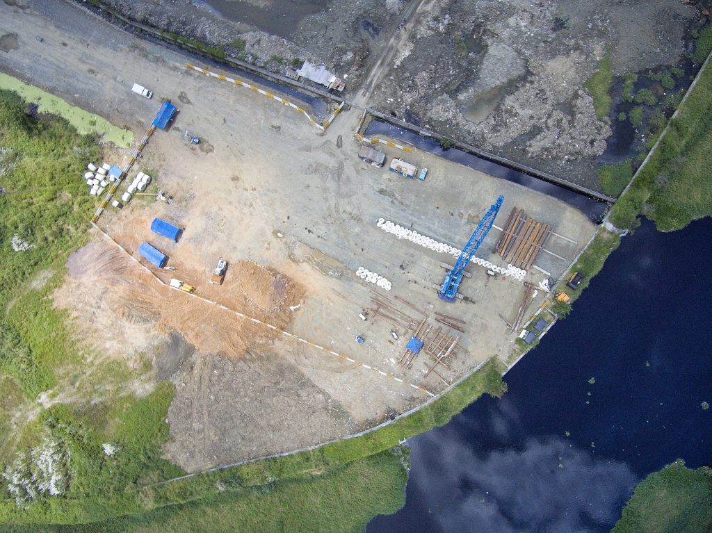
All survey deliverables are processed using industry-leading photogrammetry and GIS software including Pix4D, DJI Terra, and ArcGIS — and supplied in the formats your team already uses.